PoK shown as integral part of India in official maps: MoS Kirti Vardhan Singh in Lok Sabha
Aug 01, 2025
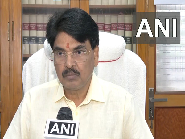
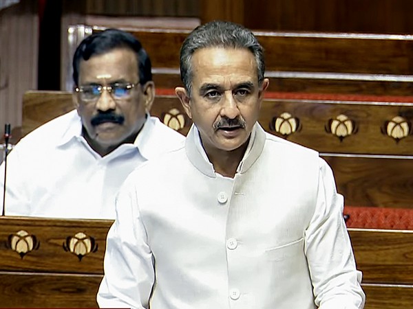
New Delhi [India], August 1 : The Government of India has made it clear that the entire Union Territories of Jammu and Kashmir and Ladakh, including areas under Pakistan-occupied Kashmir (PoK), are shown as integral parts of the country in all official maps, Minister of State for External Affairs Kirti Vardhan Singh informed the Lok Sabha on Thursday.
In a written reply to a question raised by MP Anil Yeshwant Desai, the minister said, "The official maps published by the Government of India unambiguously represent entire Union Territories of Jammu & Kashmir and Ladakh, including the territories illegally occupied by Pakistan, as parts of the Union of India."
Singh reiterated that it has been India's "consistent and principled position" that the entire region of Jammu & Kashmir and Ladakh, including PoK, has been, is, and will always remain an integral part of India. He noted that this position was clearly stated in the unanimously adopted 1994 Resolution of the Indian Parliament.
He wrote, "This was enunciated in the unanimously adopted 1994 Resolution of the Indian Parliament. The official maps published by the Government of India unambiguously represent the entire Union Territories of Jammu & Kashmir and Ladakh, including the territories illegally occupied by Pakistan, as parts of the Union of India.
Responding to a separate part of the question, the MoS confirmed that Pakistan continues to occupy parts of Indian territory illegally. "Pakistan has been in illegal occupation of parts of the Indian Union Territories of Jammu & Kashmir and Ladakh," he stated.
Singh mentioned the Government of India has consistently called upon Pakistan to vacate all areas under its illegal and forcible occupation immediately. "India has lodged strong protests with the Government of Pakistan and rejects all attempts by it to bring material change in these occupied territories," he added.