Western disturbance currently approaching from West: Weather Scientist Srivastava
Mar 29, 2026
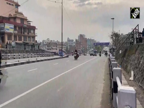
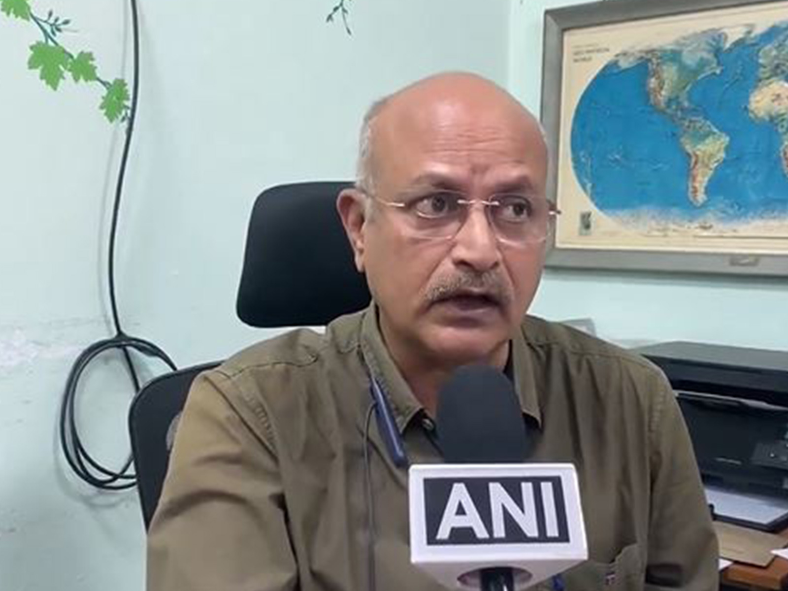
Varanasi (Uttar Pradesh) [India], March 29 : As the region continues to experience unusual weather fluctuations, leading atmospheric scientist Professor Manoj Kumar Srivastava described the ongoing conditions as part of a broader seasonal transition from winter to summer.
Speaking to ANI, Srivastava explained that the current weather pattern is "a transitional phase between the winter-dominant Western Disturbances and the approaching easterly winds of the summer season."
He noted that this overlap often results in variable and unsettled weather, including the kind of cloudy conditions and sporadic showers being observed in parts of the city and surrounding areas.
"This particular weather phase is actually a transitional one. It marks the transition from winter to summer, specifically, the shift from the dominant Western Disturbances characteristic of winter to the influence of easterly winds that prevail during the summer months. Consequently, when these two atmospheric systems interact, conditions such as those we are currently witnessing tend to develop," Prof Srivastava said.
Looking ahead, the weather expert said that another Western Disturbance approaching from the west is expected to reach the vicinity of Banaras between March 30 and 31, bringing a return of cloud cover and a chance of rainfall, although the probability of significant precipitation remains higher in the western parts of the region.
"Another Western Disturbance is currently approaching from the west; it is expected to reach the vicinity of Banaras sometime between the 30th and the 31st. Consequently, we anticipate a return of cloudy skies during that period. There is also a possibility of some rainfall, though the likelihood is certainly higher in the western regions," he added.
The India Meteorological Department (IMD) said that multiple upper air cyclonic circulations are influencing weather across the country, resulting in unsettled conditions in several regions.
A Western Disturbance currently lies over North Iran and the adjoining Caspian Sea in the lower to upper tropospheric levels, while other cyclonic circulations persist over central Assam, Sub-Himalayan West Bengal, and South Interior Karnataka in the lower tropospheric levels.
Additionally, a trough and wind discontinuity extends from Gangetic West Bengal to south Tamil Nadu, crossing Odisha, Chhattisgarh, Telangana, and Interior Karnataka, contributing to variable weather patterns.
The IMD further stated that a fresh Western Disturbance is likely to affect Northwest India from April 2, 2026, which may bring cloudy skies and chances of rainfall over the region.