Earthquake of magnitude 4.1 rocks Myanmar
Jul 10, 2026
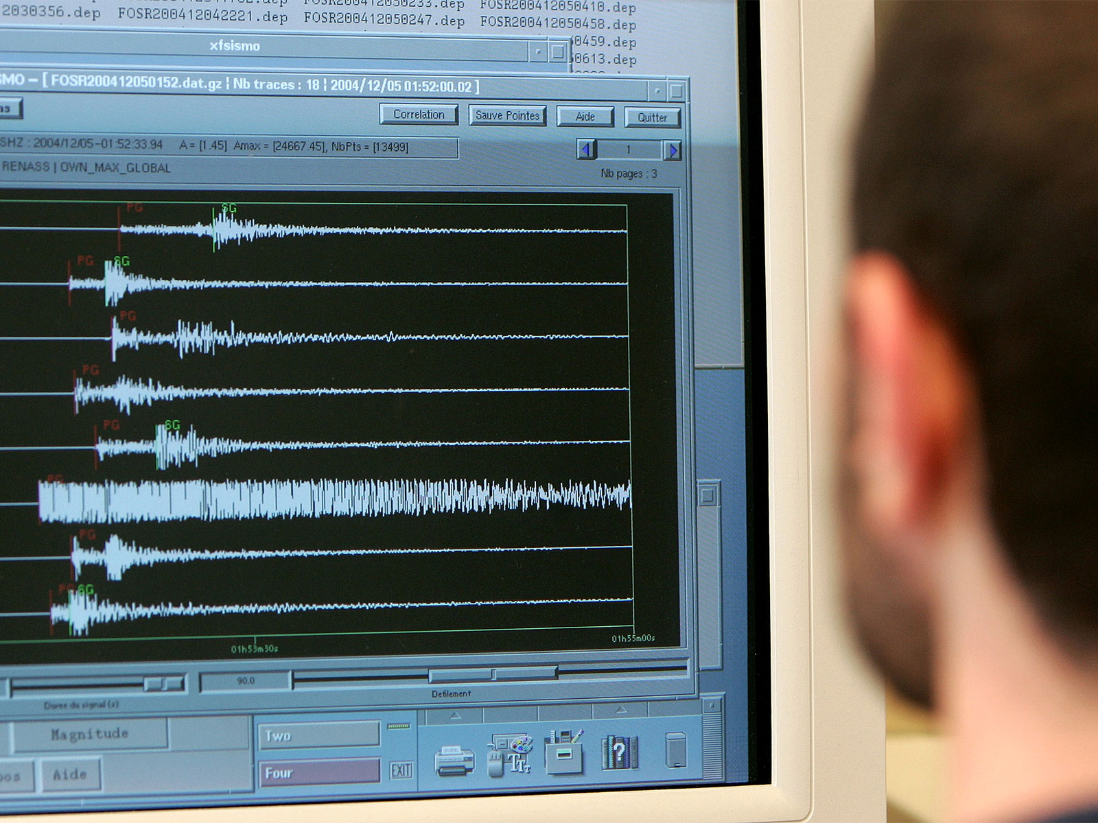
Naypyidaw [Myanmar], July 11 : An earthquake of magnitude 4.1 hit Myanmar in the early hours of Saturday, as per the National Centre for Seismology (NCS).
The NCS said that the quake struck at a depth of 90 km, at 12:20 AM Indian Standard Time (IST).
"EQ of M: 4.1, On: 11/07/2026 00:20:49 IST, Lat: 21.698 N, Long: 94.504 E, Depth: 90 Km, Location: Myanmar," NCS said in a post on 'X'.
The earthquake was followed by earlier tremors of 4.5, which struck Myanmar on Friday evening. According to the NCS, the earthquake struck at a depth of 100 kilometres at 18:59 hours Indian Standard Time.
In a post on X, it said, "EQ of M: 4.5, On: 10/07/2026 18:59:44 IST, Lat: 23.590 N, Long: 94.624 E, Depth: 100 Km, Location: Myanmar."
Myanmar is vulnerable to hazards from moderate and large-magnitude earthquakes and tsunamis along its long coastline. Myanmar is wedged between four tectonic plates (the Indian, Eurasian, Sunda, and Burma plates) that interact in active geological processes.
A 1,400-kilometre transform fault runs through Myanmar and connects the Andaman spreading centre to a collision zone in the north called the Sagaing Fault.
The Sagaing Fault increases the seismic hazard for Sagaing, Mandalay, Bago, and Yangon, which together represent 46 per cent of Myanmar's population.
Although Yangon is relatively far from the fault trace, it still suffers from significant risk due to its dense population. For instance, in 1903, a magnitude 7.0 earthquake in Bago also struck Yangon.