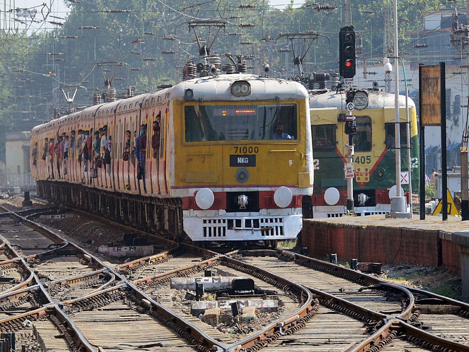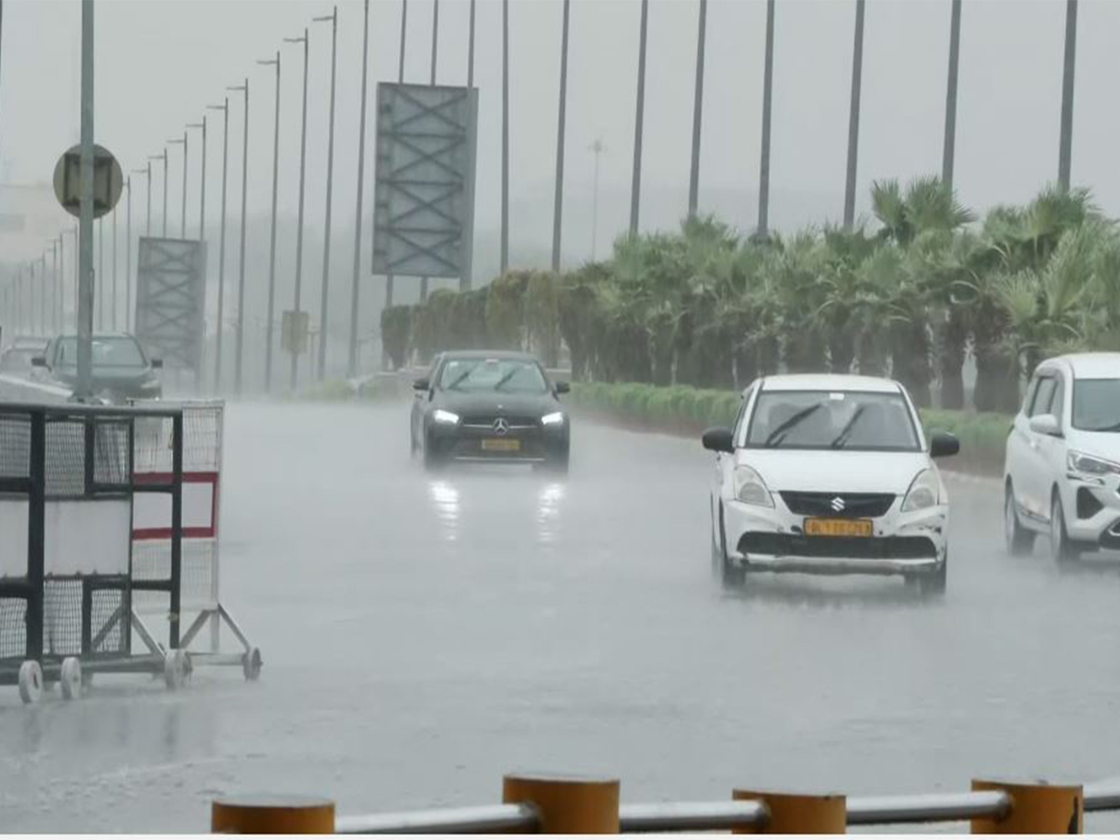
Heavy rain lashes parts of Delhi-NCR
Jun 15, 2026
New Delhi [India], June 15 : Heavy rain lashed parts of New Delhi on Monday afternoon as a dust storm followed by thunderstorms swept across the capital. The India Meteorological Department issued a red alert for the region, warning of severe weather conditions and gusty winds, impacting daily life and transit.
A sudden turn in the weather has gripped the region, with the India Meteorological Department (IMD) issuing a red alert for the national capital. Residents are witnessing scattered thunderstorms and gusty winds as the city experiences an active weather spell under the influence of a western disturbance.
Currently, Delhi is seeing a temperature of 38°C with partly sunny conditions. While the morning saw light rainfall in parts of the city--with observatories like Palam and Ayanagar recording minor precipitation--the IMD has warned of more intense activity. Forecasts indicate scattered thunderstorms for today, with the mercury expected to reach a high of 39°C and a low of 27°C. Winds are currently blowing from the northwest at 7 mph.
Delhi has witnessed steady rainfall since Monday morning, following forecasts issued by the India Meteorological Department (IMD) and weather experts who had warned of wet weather conditions across northwest India under the influence of an active western disturbance. The showers, accompanied by cloudy skies and cooler temperatures, brought relief from the prevailing heat, while authorities continued to monitor weather conditions amid forecasts of further light to moderate rainfall in the region.
India Meteorological Department (IMD) scientist Naresh Kumar on Saturday stated that weather conditions across northwest India are expected to ease slightly as the western disturbance currently positioned over North Haryana gradually moves forward.
While the region has seen substantial rainfall and high-velocity winds over the last several days, meteorologists anticipate a shift toward lighter to moderate rainfall in the coming period across northwest India.
Speaking to ANI, IMD scientist Naresh Kumar explained the atmospheric factors contributing to this weather disturbance.
Naresh Kumar said, "Over the past few days, northwest India, including Delhi, has experienced moderate to heavy rainfall due to the influence of a western disturbance combined with moisture-laden winds from the Bay of Bengal and the Arabian Sea...This confluence has led to significant rainfall in regions like Himachal Pradesh and Uttarakhand, with wind speeds reaching up to 60-70 km/h.
"Regarding the alert status, he noted, "Currently, the western disturbance is positioned over North Haryana, and while the rainfall intensity is expected to decrease, light to moderate rainfall is still anticipated across northwest India. We have issued a yellow alert for Jammu & Kashmir, Himachal Pradesh, Uttarakhand, Punjab, and Haryana, with expected strong winds in Rajasthan..."
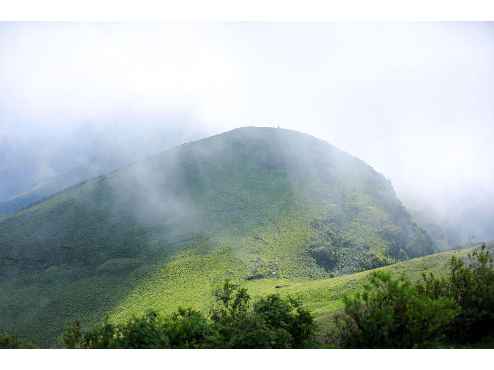
Meanwhile, according to the India Meteorological Department (IMD), under the influence of active western disturbances, Northwest India is expected to experience a continued wet spell through June 19, 2026. Isolated to scattered rainfall is likely across Jammu & Kashmir, Ladakh, and Uttarakhand between June 13 and June 19, with similar activity expected in Himachal Pradesh from June 14 to June 19. The plains, including Haryana, Chandigarh, Delhi, Punjab, and West Uttar Pradesh, will also see isolated to scattered rainfall through June 19, while East Uttar Pradesh is expected to receive rain on June 13 and again from June 18-19, and West Rajasthan between June 13-17 and on June 19.
Highlighting the scope of the forecast, the IMD noted the region will also face weather instability, with isolated thunderstorms, lightning, and gusty winds likely in Himachal Pradesh and Jammu & Kashmir during June 13-14, and in Uttarakhand through June 15.
According to the latest forecast from the India Meteorological Department (IMD), maximum temperatures across the country are expected to follow distinct regional trends through June 19, 2026. In Northwest India, day temperatures are likely to witness a gradual rise of 4-6°C until June 17, with no significant change anticipated thereafter.
Summarising the expected weather distribution, IMD stated, conversely, Central India will see stable temperatures until June 17, followed by a gradual decline of 2-3°C through June 19. For the remaining parts of the country, maximum temperatures are expected to remain largely stable with no significant changes forecast until June 19, 2026.