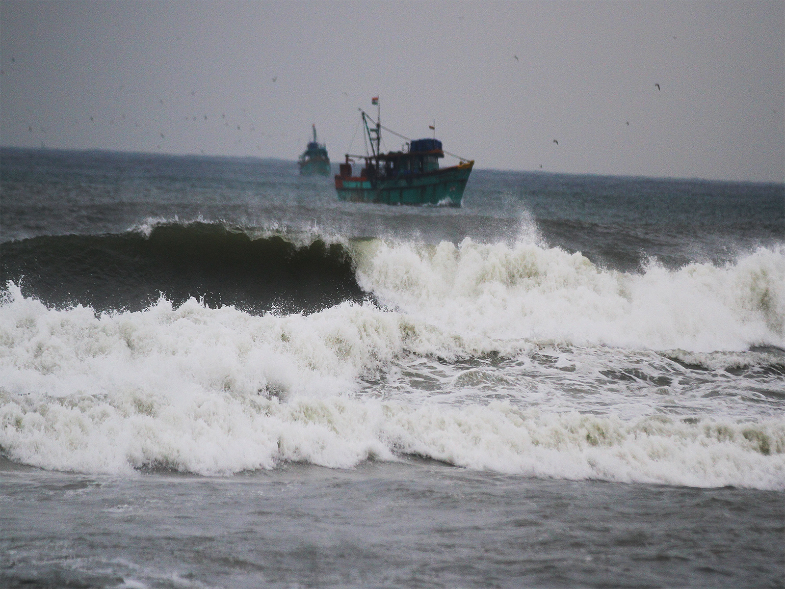
Landfall countdown begins: Cyclone Murasu closes in at 120 kmph, says IMD
Nov 02, 2026
Amaravati (Andhra Pradesh) [India], November 2 : Severe Cyclonic Storm 'Murasu' over the Westcentral Bay of Bengal is projected to make landfall between Nellore and Narsapur, close to Ongole, late tonight, the India Meteorological Department (IMD) said in an hourly bulletin issued on Monday night.
However, despite severe storm surge warnings and wind speeds expected to cross 100 kmph, evacuation operations are currently not underway in several vulnerable low-lying coastal pockets.
According to the IMD bulletin issued at 2130 hrs IST, the cyclonic storm was centred near Latitude 14.9°N and Longitude 80.6°E at 2030 hrs IST—about 60 km east of Kavali, 80 km northeast of Nellore, 90 km southeast of Ongole, and 110 km south of Bapatla.
The weather department stated that the system has been moving north-northwestwards at a speed of 12 kmph over the past six hours, maintaining a current intensity of 100–110 kmph gusting to 120 kmph near the centre.
"Landfall is expected between Nellore and Narsapur, close to Ongole, between 2330 hrs IST of November 2 and 0400 hrs IST of November 3," the bulletin said, warning that gale wind speeds of 70–90 kmph gusting to 100 kmph reported along the coast are likely to escalate to 100–110 kmph gusting to 120 kmph from midnight into early Tuesday morning.
The weather department also cautioned of a storm surge of about 1.0 to 1.5 metres above astronomical tides during landfall, which is very likely to inundate low-lying stretches in South Coastal Andhra Pradesh. The peak surge is forecast across Bapatla, Krishna, and Prakasam districts.
While surges above 0.5 metres are already beginning to inundate coastal pockets, on-ground reports indicate that mass evacuations are not underway, prompting serious concerns over public safety as the severe cyclonic system edges closer to the shore.
Further updates from disaster management authorities are awaited.